Sydney has sweated through a low-intensity heatwave on Saturday with “absolute humidity” pushing temperatures to feel up to 5 degrees higher than they were.
While some reprieve from the heat is expected on Sunday, severe thunderstorm warnings for the city were cancelled on Saturday evening.
The city’s western suburbs, where Penrith’s “Pondi” beach reopened on Saturday, were most likely to be hit by heavy rainfall. Localised flash flooding, damaging winds and large hail can now be ruled out, weather bureau meteorologists said.

One of the first beachgoers, Lidia Jaszczyszyn, enjoying the waters shortly after the opening of Penrith Beach on Saturday.Credit: Dion Georgopoulos
“There is a low-intensity heatwave over Sydney at the moment, which is expected to end on Sunday as drier, cooler air moves over NSW behind the passage of a cold front,” they said.
While the thunderstorm forecast for Sydney was cancelled, the warm and humid air mass combined with a trough of low pressure was driving “very dangerous thunderstorms” that were likely to produce large, “possibly giant hailstones”, and damaging and “locally destructive winds” across southwest NSW, including Griffith, where wind gusts of 115 km/h were recorded.
In Sydney, the humid air pushed dew point temperatures above 24 degrees, leading to uncomfortable conditions and possible heat stress for pets and sensitive people.

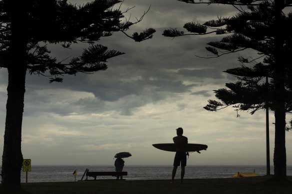
Wet weather in Maroubra today is predicted to continue this afternoon before easing tomorrow.Credit: Steven Siewert
On humid days, it is harder for sweat to evaporate and cool the body because the air circulating the skin is packed with water.
“Heat and tropical moisture have been dragged across NSW by several cold fronts and trough systems in the previous weeks, maintaining high temperatures and humidity in Sydney,” the Bureau of Meteorology said.


