Loading
"We've definitely got our fingers crossed for it."
Joel Pippard, a meteorologist with Weatherzone, said the rain event appears unlikely to be an east coast low, which would typically linger near the coast and bring heavy rain and strong winds.
Still, areas on the north-east coast and adjacent ranges could get as much as 100 millimetres, Mr Pippard said.
Sydney, too, could get some "fairly decent" totals, with perhaps 20-30 millimetres over the three days from Friday, he said.
The updated bureau forecast has Sydney recieving as much as 4, 25 and 15 millimetres on the three days, respectively. On the low end of the range, though, the city may collect as little as 9 millimetres in total.
So far this year, Sydney has collected about 505 millimetres of rain at its Observatory Hill location, compared with 909 millimetres in a typical January-August period, he said.
So far this month, evaporation at Sydney is running at 100 millimetres, compared with just 1.4 millimetres in the rain gauge.

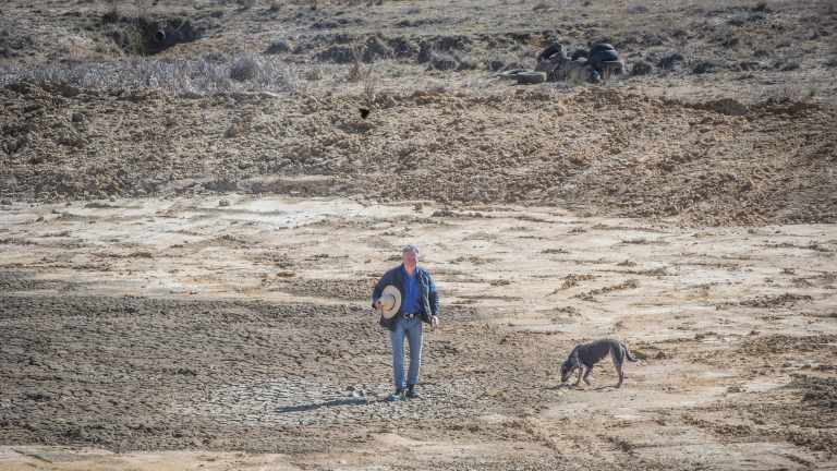
Farmers will be hoping the early forecasts for rain by the end of the week hold up.
Photo: Karleen MinneyMs Pyne said it will need a couple more days to be more certain of the rainfall totals and their location.
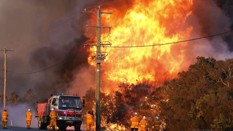
For the fire-hit areas, there should be a reduction at least in the threat of winds fanning the blazes further.
"We've had very windy conditions up the coast of NSW in the past few days, and it has exacerbated many fires," Ms Pyne said. "These winds are expected to gradually ease this afternoon.
"I think there will be a lot less [rain] inland in the southern parts of the state," she added.
Weatherzone is owned by Fairfax Media, owner of this website.

Fire-hit regions along the coast, such as near Salt Ash in the Hunter, may get some rain relief by next weekend.
Photo: AAP


 Add Category