"In December, high pressures in the southern Tasman Sea are likely to drive more humid air inland than normal, resulting in a welcome wetter-than-average December outlook for central and eastern NSW and eastern Victoria," Robert Pipunic, senior hydrologist for the bureau, said.
That welcome relief may be felt most by farmers, rather than holidaymakers.
Earlier this week, the NSW Department of Primary Industries said as much as 30 per cent of NSW remained in its drought-affected category.
Soil moisture levels also remained "extremely low" for most of NSW, with the North Coast the main exception with average levels following recent good rains.
Temperatures on the high side
The bureau's summer outlook also shows the odds favour warmer than average summer conditions for almost the entire country, particularly for overnight conditions.
The exception looks to be clearest in NSW in December, with the likelihood of extra rain keeping daytime temperatures close to average.
While the dampness should contribute to higher than usual humidity - as Sydney experienced in October - fire authorities will still need to be on alert.
Australia, after all, posted its second-hottest January-October period on record for daytime temperatures, with NSW having its hottest. It was also the state's fourth-driest start to any year, the bureau said.
"This warmth, combined with a predominantly dry landscape, means bushfire risk remains high in many parts of Australia," Dr Pipunic said.

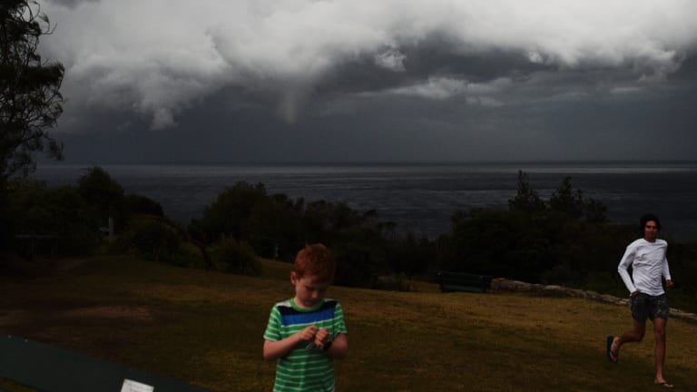
NSW, especially coastal regions, could be in for a wetter-than-average summer, particularly for December.Credit:Nick Moir
Andrew Watkins, manager of climate prediction services at the bureau, said the forecast for December meant there's the potential for more humid than usual weather for NSW.
"You tend not to get the extreme heatwaves [during such conditions]," Dr Watkins said.
Still, "it wouldn't take very long" for warm and dry spells to elevate fire risks again, particularly towards the end of summer, he said.
The outlook for damper conditions in eastern Australia doesn't extend to Melbourne, western Victoria and South Australia, all of which have also been dry of late.
So far this month, Sydney's average daytime temperatures have been tracking more than 2 degrees above the November average. After good falls in October, the city's rain has eased back as evaporation rates have jumped.
The city's reservoirs, on current trends, will drop below the 60 per cent level within a couple of weeks and trigger the switch-on of Sydney's desalination plant. The Kurnell plant, while ready after lengthy repairs for a tornado, is not expected to be up to full production for several months at least.

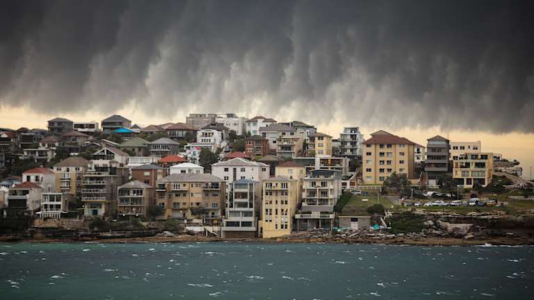
A big storm hits Bondi Beach in the early evening in January.Credit:Jessica Hromas
Peter Hannam is Environment Editor at The Sydney Morning Herald. He covers broad environmental issues ranging from climate change to renewable energy for Fairfax Media.


 Add Category