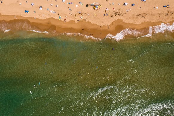
As well as the variations in tides, swimmers have discovered that ocean temperatures are below average for this time of year. Tuesday’s water temperature is 21.6 degrees, 0.7 degrees below the monthly average. Over the past decade, the warmest water temperature recorded in Sydney was 25.3 degrees in 2021.
But the good news is seawater temperature in Sydney is expected to rise to 23.3 degrees over the coming 10 days. The warmer ocean temperatures will likely see more people flocking to the beach.

People escaping the heat by flocking to the beach are facing high tides. Credit:Nick Moir
The city has enjoyed warmer temperatures over the Christmas period after a year of heavy rain, but the wet weather is set to return in the coming days. In Sydney CBD, temperatures will reach 28 degrees on Tuesday and Wednesday, before dropping to between 25 and 27 degrees with a chance of showers for the remainder of the week.
In NSW, drowning deaths are 2.7 times more likely to occur on a public holiday and 1.6 times more likely during school holidays.
“The statistics really show a need to push the critical surf safety messaging that SLSNSW works year-round to spread through our communities,” Surf Life Saving NSW chief executive officer Steve Pearce said.
Loading
“The most important things to do when considering entering the water is to do so at a patrolled beach between the red and yellow flags.”
Meanwhile, the NSW RFS has issued a total fire ban for the Northern Riverina and Southern Riverina regions on Wednesday due to hot and windy conditions. In Hay, temperatures are expected to hit 37 degrees, while Griffith will hit 38 degrees. In the South Riverina, temperatures will hit 36 degrees in Berrigan.
This year has been marked by wet weather which has been driven by three climate phenomena: La Niña, the negative Indian Ocean Dipole (IOD) and the Southern Annular Mode (SAM). A La Nina event occurs when trade winds are stronger than usual and a warm patch, where air is more likely to rise and create clouds and rain, is pushed closer to Australia.
That typically translates into above-average rain in winter and spring for eastern Australia. Meanwhile, the negative IOD increases the chances of above-average winter-to-spring rainfall for large parts of Australia, and a positive SAM also generally results in higher winter rainfalls.
The good news is that these climate drivers have already weakened, or will begin to do so in the next year. Meteorologists anticipate a return to warmer conditions, known as El Niño, but it will be some months before they can determine whether an El Niño event is under way for next summer, which would cause hot and dry conditions to return to the east coast.
Get to the heart of what’s happening with climate change and the environment. Our fortnightly Environment newsletter brings you the news, the issues and the solutions. Sign up here.


 Add Category